June 22, 2026 · 8:37 PM

The Number That Turns a Scan Into a Warning

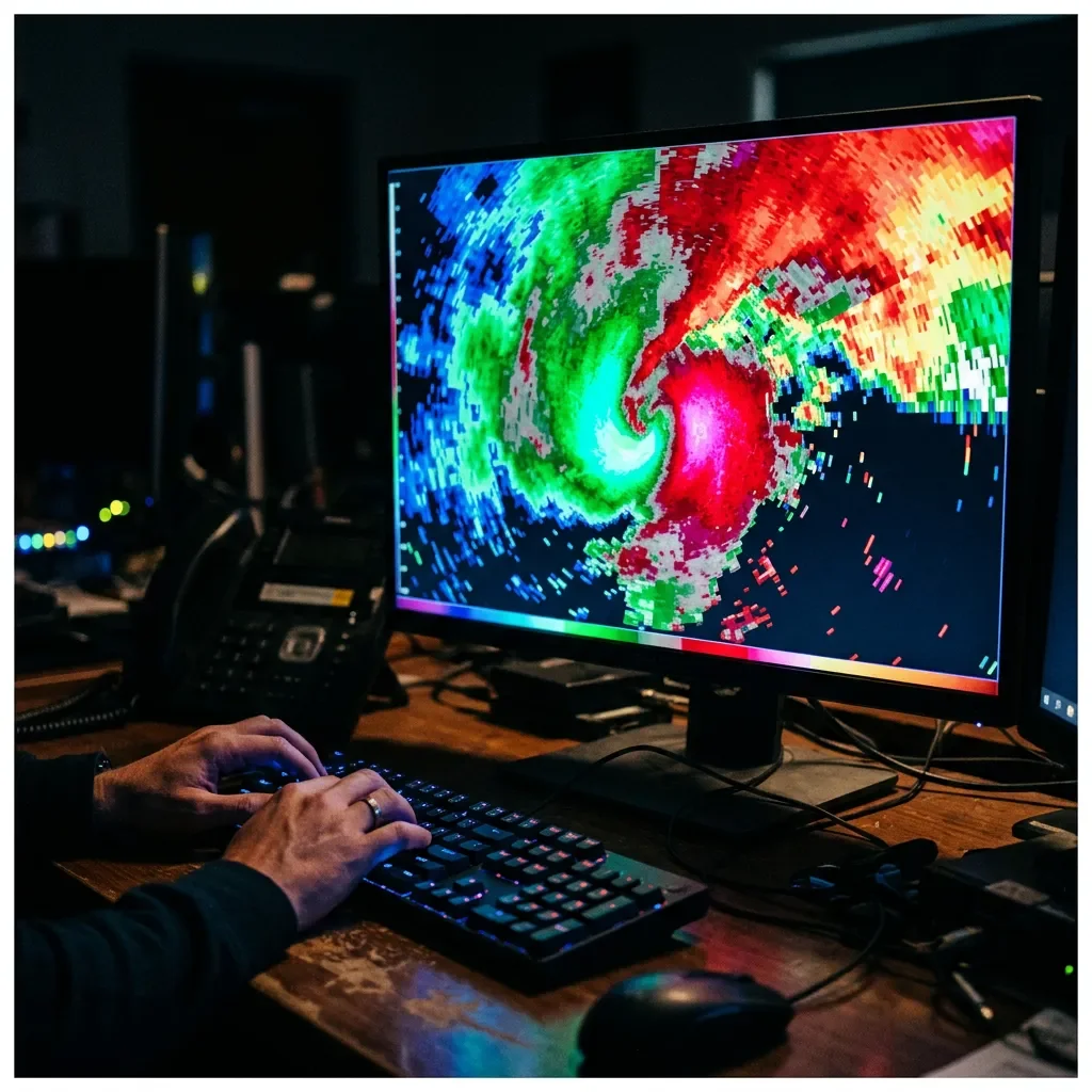
Inside a NWS tornado warning office, a senior meteorologist walks through the exact decision framework that turns a radar return into a warning — from Vrot thresholds and Tornado Vortex Signatures to the three-tier IBW tag system, Tornado Emergency criteria, documented failure modes, and what the next generation of probabilistic forecasting looks like.

The Number That Turns a Scan Into a Warning
0:0021:10
You have roughly ninety seconds. That's the window a National Weather Service meteorologist works in — from the moment a rotation signature appears on radar to the moment a tornado warning either goes out or doesn't. It's a decision made under real time pressure, with incomplete data, against a clock that doesn't stop.
This episode of Threshold Calls goes inside that decision with a senior NWS operational forecaster. She walks through the exact framework: the radar products meteorologists actually look at, the rotational velocity number that anchors the warning decision, how the three-tier damage tag system works, what a Tornado Emergency actually is and why it's not a separate product, and where the system reliably breaks down — radar dead zones, hail contamination, storms that spin up and disappear between volume scans. The episode closes with her single-sentence answer to what civilians most consistently misunderstand about why the false alarm rate is as high as it is.

Sources

Related content

Add more perspectives or context around this Post.

  • Sign in to comment.